
Florence Neighbors Around a Parcel
For Florence neighbors, each record answers a narrow block question. City and County GIS viewers show parcel geometry, road frontage, address points, TMS identifiers, and map context. A tax card can connect a parcel to billing and situs fields. The Register of Deeds can document a title event for that legal parcel. County One Stop can show a dated permit, project, license, or violation record. None of those sources is a complete household list, so an owner field must be described as a parcel-owner record.
| Block source | What it can show near an address | Access and boundary |
|---|---|---|
| City or County GIS parcel map | Adjacent polygons, TMS, owner and situs attributes, districts and map layers | Public reference viewer; owner is not proof of occupancy |
| Tax Inquiry and property card | Tax account, billing and situs fields, transfer or deed reference when displayed | Public current through 2022 query; not a household roster |
| Register of Deeds | Grantor, grantee, legal description, recording placement, and title trail | Index, old books, or counter; title events are not occupancy |
| County One Stop | Address-indexed permit, license, project, or violation information | Public basic search; project records are not people records |
| Voluntary community contacts | Meeting or participation information intentionally published by the organization | No verified Florence umbrella membership roster |
A Florence parcel can have a current owner, a billing address, a deed party, and a site address that do not all identify the same person. That distinction is the key local record limit. Note: Treat adjacent-parcel results as property context until an independent dated record identifies a person at that address.
Florence Neighbors on the GIS Map
Use the Florence County GIS Maps entry point or the City Information Viewer to find the seed address. The City viewer can search an address point by FULLADDR, a parcel by TMS or owner name, and street sources by fields such as street name, type, full name, road class, and ZIP code. Its map tools include Attribute Table, Select, Draw, DistanceAndDirection, Layer List, and Legend. The County service publishes address, parcel, road, municipal-boundary, zoning, and district layers.
The confirmed Florence method is click and select, not a claimed radius search. Identify the seed polygon, record its TMS and situs, pan along the frontage or boundary, then select each adjacent polygon. Open the visible property-card or history link when present. The City GIS disclaimer treats its data as reference material, so follow the map to the official property or deed record before making a title conclusion.
The Florence County GIS Maps entry point below is the map route used for this block workflow. Map labels help organize the next record search, but they are not legal descriptions or a list of Florence neighbors.
Use the map to compare parcels one at a time, preserving the TMS and site address for each result rather than treating a map view as a household directory.
Florence Neighbor Parcels and Title
The County Tax Inquiry lets a user choose a year and one search criterion: name or company, street or address, MBP, account or category number, or receipt. Its own instructions warn that a street search is a billing address and may not be a lot or property search. MBP, the map-block-parcel identifier, is the stronger starting point when a specific parcel is the question. A property-card display may separate Property Location from Property Billing Name and Address, and may show legal description, transfer data, or deed Book/Page.
A recorded document needs the legal parcel description, not just a street number. The Florence Real Estate Look Up offers name, category, date, and Book/Page or instrument modes. Use the owner as a grantee lead, then compare subdivision, lot, block, and legal description before connecting another deed. For older material, the ROD old-index search offers selected deed, mortgage, and plat books; it does not guarantee that every image is online.
| Official Florence records | Commercial neighbor tools | Practical difference |
|---|---|---|
| Show a defined parcel, document, map, or project with the responsible custodian. | May combine data from many sources and can be stale, incomplete, or mismatched. | Use official records to verify the specific property question and retain the source date. |
| Keep ownership, title, and project evidence in separate record systems. | Can blur an owner, a former address, and a household guess into one result. | Do not assume a compiled result establishes who lives at an address. |
This is the Florence version of a common myth: an owner, tax-bill address, or document party does not identify every resident, renter, utility customer, or protected person at the parcel.
Florence Block Work in One Stop
Florence County One Stop Planning supplies a public Basic Search for a permit, license, project, or violation. Its box accepts a name, number, or address. The help guidance says an address search should use the street alone, omitting city, state, ZIP code, and unit. It also supports licensed contractor, license holder, reference code, and permit, license, or case number searches. Advanced Search requires a free registered and logged-in account, with further type, date, district, and keyword options.
One Stop reports real-time data and allows export of up to 200 results. It also offers watchlists to account users. That makes it a useful way to see dated work around a Florence block, not a way to identify the occupants of nearby homes. City addresses can have separate City-held records; where no City public address index is available, a precise City FOIA request or Building Inspections counter inquiry is the documented fallback.
The Florence County One Stop Planning screen below is the public planning route. Search results should be read as project or case evidence, then checked against the address and jurisdiction.
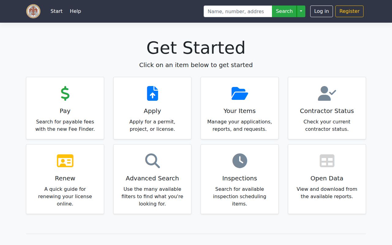
The One Stop result can add a date and work description to a block record trail, while leaving household membership outside its scope.
Map a Florence Block by Address
Mapping Florence neighbors works as a short evidence chain. Begin with the exact address and keep one record note for each parcel. A situs address is the physical property location. A TMS or MBP is the parcel identifier used to connect map, tax, and deed material. A legal description is the lot, block, subdivision, or metes-and-bounds wording that makes a deed match the parcel even when a street number changes.
- Search the City FULLADDR or the County map for the seed address, then note its TMS and situs field.
- Use click, identify, and pan tools to select parcels sharing the relevant boundary or road frontage.
- Open each property card or tax result and label every name as a parcel owner or billing record, never as a current resident without a dated source.
- Use the ROD legal-description, name, or Book/Page route when a title event needs confirmation.
- For a whole named street and its fuller current record chain, use the Florence Street Directory instead of extending a block map beyond its evidence.
Keep a map result separate from an identity conclusion. The state voter self-check does not turn the last step into a street browse tool, and the property roll does not add every household member.
Florence Neighbors in Community Programs
Florence has community contact paths, but they are not member directories. The City Neighborhood Program says some areas have associations and identifies Community Services, Planning, and Police as liaisons. It does not publish an umbrella association roster. City planning context identifies North Florence, Northwest Florence, and East Florence as older gateway neighborhoods, while suggested neighborhood boundaries are geography rather than evidence that a person belongs to an association.
| Neighborhood Program | City Neighborhood Program explains liaison and association context, not membership. |
|---|---|
| Community Outreach | Florence Police Community Outreach publishes a Neighborhood Watch meeting table and participation information. |
| Named meeting areas | The City table includes groups such as Briggs, College Park, East Florence, Northwest Florence, Timrod Park, Waverly Acres, Woodmont, and Williams Heights. |
| Participation limit | Use a first-party published meeting contact. Do not infer a resident's watch, association, congregation, or civic-club membership from a parcel. |
The City Community Outreach page shown below is a voluntary contact layer for Florence neighbors. It encourages attendance and says National Night Out is the first Tuesday in August.
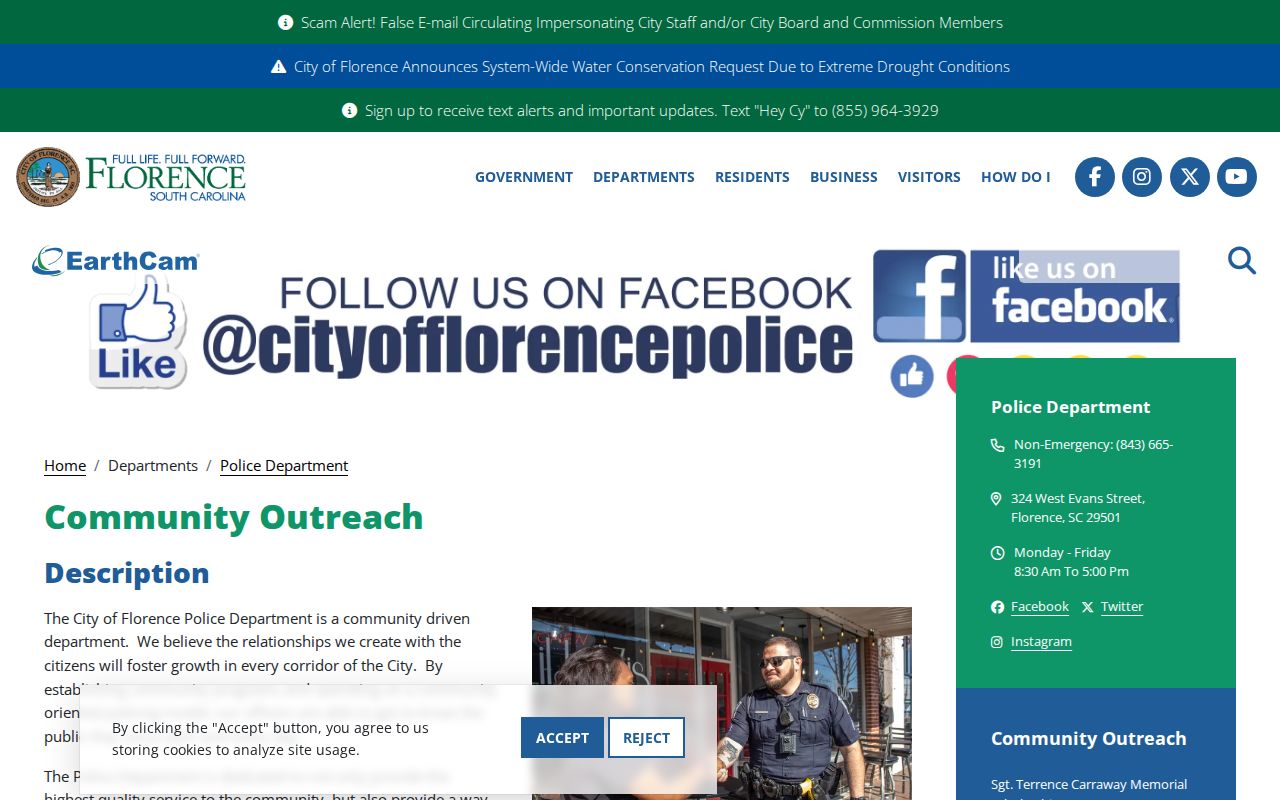
Meeting information can help someone connect with a public program, but it should never be republished as a private neighborhood roster.
Florence Neighbor Voter Record Limits
South Carolina's MySCVotes voter-information form is an individual confirmation tool, not a Florence block browse screen. The live route requires a county, first name, last name, date of birth in the stated format, and the last four digits of the person's Social Security number. SC Votes describes it as a way to check registration information using the person's details as shown on the registration card. It should never be used or described as a tool for discovering neighbors.
South Carolina has a separate voter-list request process, with eligibility and current conditions controlled by the State Election Commission and the local election authority. The research did not verify a current public price or delivery schema, so none is claimed here. For a Florence County registration question, the Board of Voter Registration & Elections is the custodian contact. A non-match can reflect a name, county, date, address-update, or status issue. It does not prove a person never lived in Florence.
Privacy Boundaries for Florence Neighbors
Public parcel, tax, and deed information has deliberate gaps. It does not create a list of renters, every adult in a household, utility customers, delivery recipients, DMV addresses, or protected-address participants. South Carolina's Address Confidentiality Program provides an eligible participant a substitute mailing address and does not erase prior records. It is not a signal to reverse-engineer from collateral material. Protected voters and people covered by statutes or court orders also require the custodian's rules to be respected.
Lawful use. Florence neighbor research is for personal, lawful purposes such as understanding a parcel or joining a public community program. Do not use records to stalk, harass, intimidate, or harm anyone.
For an online record image containing a Social Security number, driver or state ID number, passport number, financial account or card number, PIN, or password, South Carolina law provides a signed request route to the clerk or Register of Deeds for removal of those items from a public image. The official record remains governed by law. Note: Contact the custodian with the exact page and statutory protection rather than sending sensitive information to an unverified party.