
Florence ZIP Code Delivery Areas
The three primary delivery ZIP codes confirmed by City and County address-point data are 29501, 29505, and 29506. They are useful postal context, not neighborhood borders or proof of municipal jurisdiction. City records provide examples of Florence address points and neighborhood names in each area, but the exact status of an individual parcel remains address-specific. Test the street address with USPS and compare it to the City or County map before making a boundary conclusion.
| ZIP code | Documented Florence delivery context | Postal or boundary note | Best verification |
|---|---|---|---|
| 29501 | Florence address points, with Briggs, Cambridge Court, Coit Village, Colonial Gardens, and Creekside appearing in City outreach examples | Primary Florence mailing ZIP; City-limit status is parcel-specific. | Use City or County GIS, then USPS for the given address. |
| 29505 | Florence address points, including College Park, Hickory Knoll, Lakota Crossing, East Sanhurst, and Pelican House examples | Postal lines do not necessarily match City lines. | Check FULLADDR or TMS, City Limits, then USPS. |
| 29506 | Florence address points, including Church Hill, Clyde Court, East Florence, Greater Wilson Heights, Liberty Street, Pine Park, and Woodmont examples | Primary Florence mailing ZIP, not a resident list. | Confirm address format through GIS and USPS. |
The local examples give delivery context only. They do not define every street in a ZIP or make a neighborhood name a postal boundary. A street segment can carry ZIP values in City GIS while a parcel record supplies its separate legal and tax context.
Florence ZIP Code Address Checks
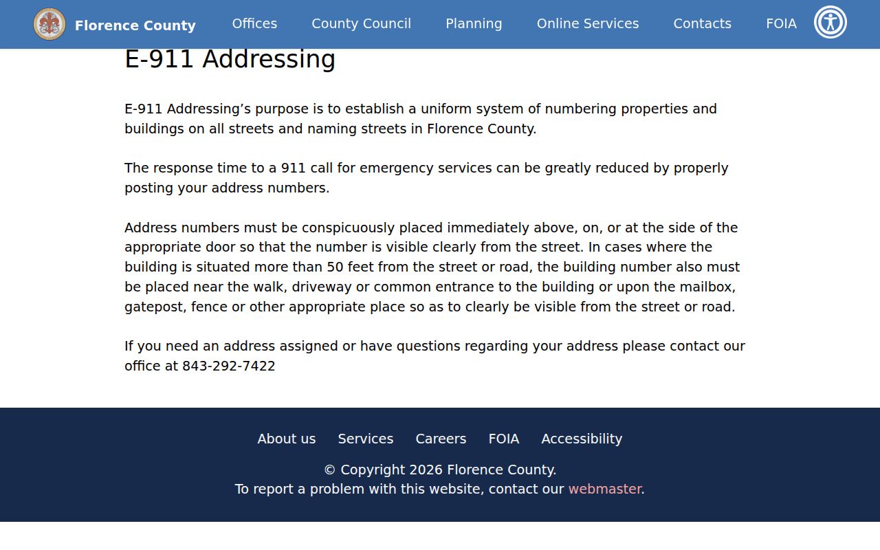
Florence County E-911, not USPS, is the local authority for assigning addresses. Its program creates uniform property and building numbers and street names throughout County streets. The County says a number must be visible from the street. When a building sits more than 50 feet from the road, a number is also required at the driveway, walk, common entrance, mailbox, gatepost, or fence. Questions about assignment go to E-911 at 843-292-7422; the broader Planning department number is 843-676-8600.
After local assignment, use the USPS ZIP Lookup to verify delivery information for a single address. USPS offers address-to-ZIP, City and State to all ZIPs, and ZIP-to-Cities modes. Its result may classify a returned code as PO Box, Unique, or Military where applicable, but it warns that a result does not confirm that a person or company occupies the address.
| USPS lookup field | Entry type | Use in a Florence check |
|---|---|---|
| Company | Optional text | Leave blank when verifying an ordinary mailing address. |
| Street Address | Required text | Enter the local E-911 street address. |
| Apt/Suite | Optional text | Add only when it is part of the address being checked. |
| City and State or ZIP | Paired location fields or ZIP | Use a complete city-state pairing or the known ZIP to test delivery data. |
| Puerto Rico Urbanization | Conditional field | Not normally part of a Florence, South Carolina address. |
The Florence County E-911 Addressing page documents the local assignment role before postal verification occurs.
That local-address step is why a ZIP result should follow, rather than replace, a confirmed physical address.
Florence ZIP Code Map Fields
The City Information Viewer provides the map context that a postal response cannot. Its Address Point layer includes FULLADDR, address components, ZIPCOMM, ZIPCODE, ZIP_NUM, and TMS. The Street layer carries left and right ZIP values alongside address ranges, street name, community, road class, maintenance, and status. Parcel information can show owner, TMS, map, block, parcel, situs address, and property-card or history links. The City Limits and Annexations layers include ordinance and annexation-date fields.
Its configured search sources are Address Point FULLADDR, City Locator, Streets, Subdivision Name, County Parcel TMS, County Parcel OWNERNAME, and address components ADD1 through ADD3. There is no ZIP-specific search source configured in the reviewed viewer. Search a full address, TMS, street, or subdivision instead, then inspect the ZIP field and City Limits context. The City Information Viewer is reference mapping, not a legal description or a household roster.
Florence ZIP Code Mailing Names
A Florence mailing city can reach outside the City of Florence. Countywide address-point combinations also show 29161, normally associated with Timmonsville routing, and 29541, normally associated with Effingham routing. Those two codes are a clear warning against using the mailing city alone to label an address as inside City limits. Delivery geography follows post offices, delivery units, and carrier routes, while municipal geography follows a separate boundary.
USPS explains that ZIP Codes do not necessarily follow city or municipal lines. City GIS can establish local boundary context only after a particular parcel or address is selected. The same address needs three distinct notes: the physical or situs address for the building or parcel, the mailing or billing address for correspondence, and the legal description for title and plat work. Combining them can create a false match.
Find a Florence ZIP Code Record
No local property, court, voter, Register of Deeds, or permit portal reviewed here offers a general function to show every resident in a ZIP code. A useful Florence ZIP code search instead verifies one address, then follows the record trail associated with that address. That keeps a delivery result from being mistaken for a people search.
- Start with the complete street address and have Florence County E-911 resolve any assignment or numbering question.
- Run the address through USPS to confirm the mailing ZIP or view the ZIP-to-Cities and City-State modes.
- Search FULLADDR or TMS in City GIS to inspect address-point, street-range, parcel, City Limits, and annexation context.
- Use the County Tax Inquiry or property card to distinguish property location, billing address, legal description, and parcel key.
- For title or historic context, take the parcel key or legal description to the Register of Deeds or the library’s dated materials.
Once a postal area has been narrowed to a known street, the Florence street directory has the detailed parcel, map, deed, and permit workflow. A ZIP alone never substitutes for that address-level work.
Florence ZIP Code Parcel Details
The County Tax Inquiry can add property context after a ZIP has been verified, but its Street/Address route searches a billing address and may not be a lot or property search. Its results can include notice number or MBP, type and district, name and lot description, billing address, assessment or exemption-credit information, tax amounts, and payment status. The property-card detail can separate Property Location from Property Billing Name/Address and may display transfer dates, deed Book/Page, sale price, and legal description.
Use the MBP format, five digits for map, two for block, and three for parcel, or a City TMS to hold the parcel trail together. A tax-bill address can be different from the situs address. An owner field and a tax classification are property evidence, not a current household list. The 2024 County reassessment may affect assessment interpretation, but a recorded instrument is the right source for a transaction event.
The tax form offers Current, 2024, 2023, and 2022 selections, with one search criterion at a time. A result may point to the next parcel record, but a postal ZIP remains only one field in the larger address trail.
Florence ZIP Code Boundary Terms
Postal vocabulary helps keep a delivery lookup in bounds. The following terms describe USPS delivery concepts. They do not classify a specific Florence code unless an official current lookup supplies that result. In particular, this research did not capture an official USPS result that would classify 29502, 29503, or 29504 as PO Box, Unique, or general-delivery codes.
- ZIP Code
- A postal routing code used with a mailing address; it is not a City boundary.
- ZIP+4
- An added four-digit delivery detail used after the five-digit ZIP Code.
- PO Box ZIP
- A postal classification for box delivery when USPS identifies a result that way.
- Unique ZIP
- A USPS result type that can be returned for a qualifying organization or destination; do not assume it applies locally without a live result.
- Carrier route
- A delivery-route concept that can shape postal service but does not define a municipal neighborhood.
Florence ZIP Code City Limits
City Limits and Annexations in the City Information Viewer supply the local boundary record. An ANNEX_DATE or ordinance field can show when a parcel became part of the City. It does not alter an older deed’s legal description and does not guarantee that USPS changed the mailing ZIP. For a live address, inspect the actual parcel and layer attribute instead of relying on a meeting agenda or a broad ZIP label.
Recent City agendas have included proposed annexation and zoning matters, but a proposal is not an enacted boundary fact. The correct sequence is address first, GIS parcel and City Limits next, then the actual ordinance or status. That approach works for a Florence ZIP code directory question without assigning a City status to every address served by a Florence mailing name.
Note: Postal delivery, E-911 assignment, tax parcels, and City annexations overlap in Florence, but each custodian answers a different question.
Limits of Florence ZIP Code Searches
USPS specifically warns that a ZIP result does not verify that a person or company occupies an address. The City and County maps may display parcel and owner fields, but those fields do not identify all residents, renters, delivery recipients, protected-address participants, or utility customers. South Carolina’s voter self-check is an individual tool that requires personal information, not a ZIP browse function.
Use ZIP and address information for lawful personal research, family history, property context, or civic questions. Do not use a postal or parcel trail to stalk, harass, intimidate, or harm anyone. For protected or uncertain information, contact the custodian, explain the record needed, and follow the applicable access rules.